
Mount Longdon
| Mount Longdon | |
|---|---|
.jpg) | |
| Highest point | |
| Elevation | 183 m (600 ft)[1] |
| Prominence | 97 m (318 ft)[2] |
| Isolation | 3 km (2 mi) |
| Coordinates | 51°40′15″S 57°58′55″W / 51.67083°S 57.98194°W |
| Geography | |
 Mount Longdon | |
Mount Longdon is a hill located in the east of East Falkland island forming part of the Falkland Islands Archipelago[3]. It has an elevation of 183 metres (600 ft) above sea level. It is the highest land in any direction for 3 kilometres (2 miles).[4][a] Mount Longdon is named after Lt Col Richard Longdon, who was the commanding officer of the 2nd Battalion, Parachute Regiment (2 Para) of the British Army during the Falklands War.[5] It is best known as the site of the Battle of Mount Longdon, and overlooks Stanley, the capital of the Falkland Islands.
Geography
[edit]Mount Longdon forms part of a hilly area in the East of the East Falkland Island.[6]
Geology
[edit]Mount Longdon and the surrounding area primarily consists of sedimentary rocks with formations of sandstones, quartzites, and shales, which date back to the Paleozoic era.[7]
Climate
[edit]
The Climate for Mount Longdon is extremely similar to Stanley and RAF Mount Pleasant due to its proximity. Mount Longdon has a maritime climate in the polar, tundra zones, Köppen classification ET.[8] The climate is very much influenced by the cool South Atlantic ocean and its northerly Patagonian current. The oceanic climatic type is characterised by both low seasonal and diurnal temperature ranges and no marked wet and dry season while in the sub-arctic zone the average monthly maximum temperature exceeds 10 °C (50 °F) for no more than four months of the year and the average monthly minimum does not drop below −3 °C (27 °F). Mount Longdon's elevation, maritime location and topography frequently lead to cool conditions
| Climate data for Stanley, Falkland Islands, 2m asl, 1929–1970 | |||||||||||||
|---|---|---|---|---|---|---|---|---|---|---|---|---|---|
| Month | Jan | Feb | Mar | Apr | May | Jun | Jul | Aug | Sep | Oct | Nov | Dec | Year |
| Record high °C (°F) | 24.4 (75.9) |
23.3 (73.9) |
21.1 (70.0) |
17.2 (63.0) |
14.1 (57.4) |
10.6 (51.1) |
10.0 (50.0) |
11.1 (52.0) |
15.0 (59.0) |
17.8 (64.0) |
21.7 (71.1) |
21.7 (71.1) |
24.4 (75.9) |
| Mean daily maximum °C (°F) | 13.3 (55.9) |
12.8 (55.0) |
11.7 (53.1) |
9.4 (48.9) |
6.7 (44.1) |
5.0 (41.0) |
4.4 (39.9) |
5.0 (41.0) |
7.2 (45.0) |
8.9 (48.0) |
11.1 (52.0) |
12.2 (54.0) |
9.0 (48.2) |
| Daily mean °C (°F) | 9.5 (49.1) |
8.9 (48.0) |
8.1 (46.6) |
6.1 (43.0) |
3.9 (39.0) |
2.2 (36.0) |
1.9 (35.4) |
2.2 (36.0) |
3.9 (39.0) |
5.3 (41.5) |
7.0 (44.6) |
8.1 (46.6) |
5.6 (42.1) |
| Mean daily minimum °C (°F) | 5.6 (42.1) |
5.0 (41.0) |
4.4 (39.9) |
2.8 (37.0) |
1.1 (34.0) |
0.0 (32.0) |
−0.6 (30.9) |
−0.6 (30.9) |
0.6 (33.1) |
1.7 (35.1) |
2.8 (37.0) |
3.9 (39.0) |
2.2 (36.0) |
| Record low °C (°F) | −1.1 (30.0) |
−1.1 (30.0) |
−2.8 (27.0) |
−6.1 (21.0) |
−6.7 (19.9) |
−11.1 (12.0) |
−8.9 (16.0) |
−11.1 (12.0) |
−10.6 (12.9) |
−5.6 (21.9) |
−3.3 (26.1) |
−1.7 (28.9) |
−11.1 (12.0) |
| Average precipitation mm (inches) | 71 (2.8) |
58 (2.3) |
64 (2.5) |
66 (2.6) |
66 (2.6) |
53 (2.1) |
51 (2.0) |
51 (2.0) |
38 (1.5) |
41 (1.6) |
51 (2.0) |
71 (2.8) |
681 (26.8) |
| Average precipitation days (≥ 0.1 mm) | 15 | 12 | 10 | 11 | 13 | 11 | 12 | 9 | 9 | 7 | 10 | 14 | 133 |
| Average relative humidity (%) | 78 | 79 | 82 | 86 | 88 | 89 | 89 | 87 | 84 | 80 | 75 | 77 | 83 |
| Mean monthly sunshine hours | 198 | 161 | 169 | 115 | 77 | 57 | 69 | 90 | 128 | 189 | 200 | 198 | 1,651 |
| Source 1: Globalbioclimatics/Salvador Rivas-Martínez [9] | |||||||||||||
| Source 2: DMI/Danish Meteorology Institute (sun, humidity, and precipitation days 1931–1960)[10] | |||||||||||||
| Climate data for Mount Pleasant EGYP, East Falkland, 74m asl, 1999–2019 | |||||||||||||
|---|---|---|---|---|---|---|---|---|---|---|---|---|---|
| Month | Jan | Feb | Mar | Apr | May | Jun | Jul | Aug | Sep | Oct | Nov | Dec | Year |
| Record high °C (°F) | 26.0 (78.8) |
26.8 (80.2) |
25.5 (77.9) |
26.1 (79.0) |
17.8 (64.0) |
15.7 (60.3) |
12.3 (54.1) |
15.11 (59.20) |
22.2 (72.0) |
17.8 (64.0) |
21.7 (71.1) |
25.3 (77.5) |
26.8 (80.2) |
| Mean daily maximum °C (°F) | 16.8 (62.2) |
15.9 (60.6) |
14.6 (58.3) |
10.9 (51.6) |
8.1 (46.6) |
5.9 (42.6) |
5.4 (41.7) |
6.6 (43.9) |
8.8 (47.8) |
11.7 (53.1) |
13.5 (56.3) |
15.4 (59.7) |
11.1 (52.0) |
| Mean daily minimum °C (°F) | 6.2 (43.2) |
6.1 (43.0) |
5.1 (41.2) |
3.3 (37.9) |
1.6 (34.9) |
0.4 (32.7) |
−0.3 (31.5) |
0.3 (32.5) |
1.0 (33.8) |
2.2 (36.0) |
3.4 (38.1) |
5.0 (41.0) |
2.9 (37.2) |
| Record low °C (°F) | −0.1 (31.8) |
−0.8 (30.6) |
−0.6 (30.9) |
−2.8 (27.0) |
−6.1 (21.0) |
−10.1 (13.8) |
−10.3 (13.5) |
−6.5 (20.3) |
−9.8 (14.4) |
−3.1 (26.4) |
−5.5 (22.1) |
−1.5 (29.3) |
−10.1 (13.8) |
| Source: NCDC[11] | |||||||||||||
History
[edit]
The Battle of Mount Longdon was fought between the British 3rd Battalion, Parachute Regiment and elements of the Argentine 7th Infantry Regiment on 11–12 June 1982, towards the end of the Falklands War[12][13]. It was one of three engagements in a Brigade-size operation that night, along with the Battle of Mount Harriet and the Battle of Two Sisters. A mixture of hand-to-hand fighting and ranged combat resulted in the British occupying this key position around the Argentine garrison at Port Stanley[14] . The battle ended in a British victory.
Summit
[edit]At the summit of the hill now lies a memorial which today attracts some tourism to the area. [15]
See also
[edit]External Links
[edit]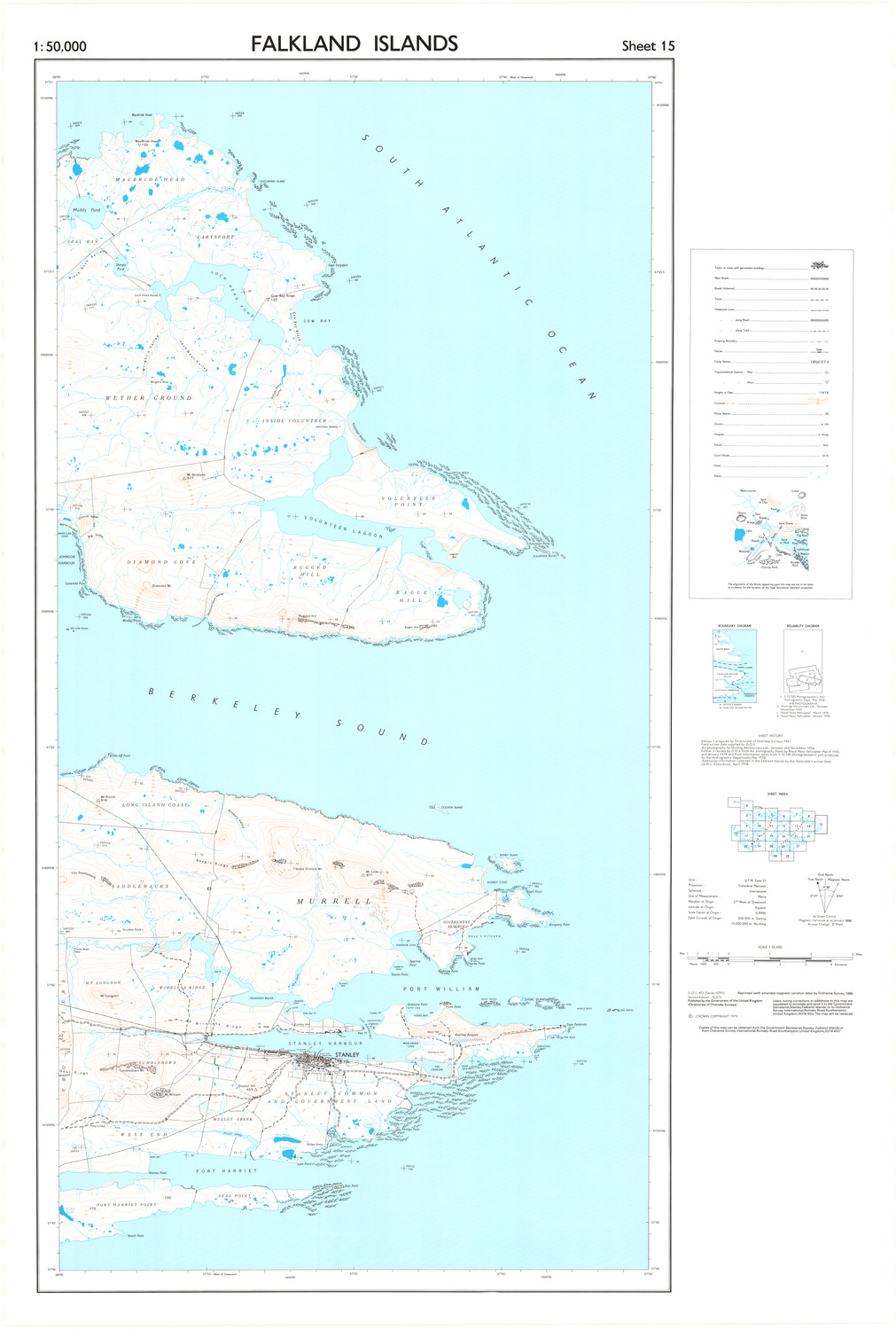
Footnotes
[edit]- ^ This is the distance to the mountain Tumbledown south of Mount Longdon.
References
[edit]- Notes
- ^ "ACME mapper". ACME mapper. 2024. Retrieved 11 October 2024.
- ^ "Peak Visor". Peak Visor. 2024. Retrieved 14 October 2024.
- ^ Alan Edwin Day (1996). The Falkland Islands, South Georgia and the South Sandwich Islands. Clio Press. p. 232.
- ^ "Isolation for Mount Longdon - ACME mapper".
- ^ "Mount Longdon". Paradata. 2024. Retrieved 11 October 2024.
- ^ Middlebrook, Martin. The Falklands War. London: Penguin Books, 1989
- ^ Stone, P., and Aldiss, D.T. The Geology of the Falkland Islands. British Geological Survey, Keyworth, Nottingham, 2002.
- ^ "Climate Zones: South America" (PDF). New York: Socioeconomic Data and Applications (SEDAC), Earth Institute, Columbia University. 2012. Retrieved 8 June 2012.
- ^ "Temp/Rain 1929–70" (PDF). Globalbioclimatics. April 2012. Retrieved 10 December 2018.
- ^ Cappelen, John; Jensen, Jens. "FALKLANDSØERNE–Stanley" (PDF). Climate Data for Selected Stations (1931-1960) (in Danish). Danish Meteorological Institute. p. 87. Archived from the original (PDF) on 27 April 2013. Retrieved 10 December 2018.
- ^ "Temp/max/min/records". NOAA. December 2019. Retrieved 12 July 2020.
- ^ Christian Jennings and Adrian Weale, Green-Eyed Boys: 3 Para and the Battle for Mount Longdon, p. 142, HarperCollins, 1996
- ^ Jon Cooksey, 3 PARA Mount Longdon: The Bloodiest Battle, p. 98, Pen & Sword Books Ltd
- ^ Batallón 5: El Batallón de Infantería de Marina No. 5 en la Guerra de las Malvinas, Emilio Villarino, Aller Atucha, 1992
- ^ "Mount Longdon Memorial". Falklands Islands Tourist Board. 2024. Retrieved 15 October 2024.
Mountains and hills of the Falkland Islands | ||
|---|---|---|
| East Falkland Island |  | |
| West Falkland Island | ||
| Weddell Island | ||
This Falkland Islands location article is a stub. You can help Wikipedia by expanding it. |